
Low Carbon, High Efficiency, and Remote GeoSolutions
Our solutions are able to achieve up to 90% reduction in GHG emissions per geophysical campaign and 75% reduction in offshore survey personnel deployed per vessel/rig/barge for greener and safer operations!
Drop us a line today for exclusive geo-consultancy insights (geophysical & positioning) on potential zero-cost impact solutions to reduce carbon emission for your operations in Southeast Asia via unmanned surface vessels and remote positioning operations.
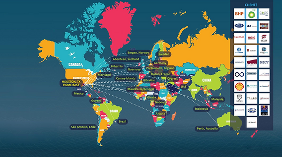
Our geo-consultants in their career have lead over 1,100 individual projects across 7 countries serving all 5 of South East Asia's largest national and international oil & gas / energy companies; ensuring that you have best-in-class and cost efficient solutions.

Our Geo-Solutions Differentiator & Partners
We integrate our solutions with a range of autonomous and remote technology partners, all global leaders, to ensure reliability and sustainability of technology adoption. Below are some key technologies relevant to the energy industry in its transition to low-carbon operations.
OCEANα
4DNAV
Unmanned Surface Vessel:
Full Geophysical Payload
Our USV partner, Oceanα is the world's largest USV manufacturer with more than 200 engineers and hold 402 pieces of USV related patents.
Our firm is proud to be one of the first to introduce the L25 Marine Survey USV which is the latest offering from Oceanα; capable of towed systems allowing for deeper water depth operations in comparison to earlier models seen in SEA such as the M40P and M80B.
More than 90% reduction in carbon emissions for geophysical surveys along with::
-
~75% reduced project turnaround time
-
~65 hours endurance with zero risk of manpower fatigue
-
100% autonomous operations with satellite link for real-time data processing and intepretation


Remote Operations:
Integrated Command & Control
4DNav solutions is used globally and our geo-consultant has been the first to lead its operationalization within the SEA eco-system during their career in the geomatics O&G industry.
Our firm is proud to introduce 4DNav's latest offering of the Integrated Command & Control module capable of integrating full offshore project lifecycle from project planning to execution within a single low latency digital platform.
This seamless integration (IoT) of digital twin field assets', its geo-reference, and synchonization with planned and actual geo-location allows for real-time:
-
Situational awarness for offshore teams working on SIMOPS
-
Live quality control of data for onshore team
-
Progress tracker / VOWD reporting for management
The reduction of required offshore teams (i.e. geomatics team) alone reduces more than 75% in carbon emissions for mobilization and directly reduces exposure hours of manpower offshore.
The value however lies in the end-to-end digitalization of offshore planning, execution and reporting; with decisions based on real-time situations.
4DNav is trusted globally by industry leaders

Our Integrated Geosolutions
Leveraging on latest autonomous and remote technology along with in-house regional experts, we provide end-to-end geosolutions focusing on high-complexity construction, transportation and installation scope.

Offshore Geo-Consultancy (Geophysical & Geomatics Services)
We are experienced in end-to-end offshore development (construction and installations) scope including but not limited to:
-
Platform installations
-
Single and multi-platform (including high precision bridge connections) installations
-
-
Pipeline & fibre-optic-cable installations including shore approach
-
Asset integrity monitoring including deformation analysis & structural stress analysis
Our expertise includes ensuring we scope the most cost-optimized solutions (manned & unmanned) for our Clients while adhering to all standards required by the End User's geophysical and/or geomatics teams in:
-
Pre-installation geophysical services in ensuring you're selecting a fit-for-purpose solution to meet your engineering and planning needs
-
Surface positioning for primary vessel, and AHT vessel(s) during load-out, transport to site and installation activities.
-
Underwater positioning (USBL/SSBL/LBL methodologies depending on scope & accuracy requirements) during offshore installation
-
Dimensional control to ensure changes during construction (if any) is mapped to de-risk installation activities.
-
Asset integrity monitoring encompassing long-term remote (i.e. unmanned) deformation and structural stress analysis with real-time alerts to shore.
As we've worked closely with construction, installation and IRM PMTs across SEA, we've experienced different cost-effective solutions used (including multiple first successes in SEA) and will be able to cross share lessons learnt to potentially further de-risk your operations.
Click here to access our Geoconsultancy & Geosolutions arm website: www.ta-geosolutions.com